


Another coastal storm is slated to arrive in the city on Wednesday, and some significant snowfall could be in the forecast.
The NY1 forecast currently calls for 6 to 12 inches of snow throughout Wednesday, although the precipitation may be a wintry mix throughout.
As of the time of this writing, it appears that the northern half of the city will see more snow, although the forecast can change before Tuesday night. Southern Brooklyn, Queens, and Staten Island should see more rain mix in.
Precipitation could start as early as midnight Tuesday, but steady precipitation should not arrive until 6 a.m. Wednesday.
The heaviest snow is expected between 11 a.m. and 8 p.m. Wednesday, with snow tapering off around midnight Wednesday.
The National Weather Service has issued a winter storm watch for all five boroughs Tuesday night through Wednesday.
Heavy, wet snow is projected, along with wind gusts of about 40 miles per hour. Some rain is expected as well.
A slight shift in the track of the storm can significantly change the forecast.
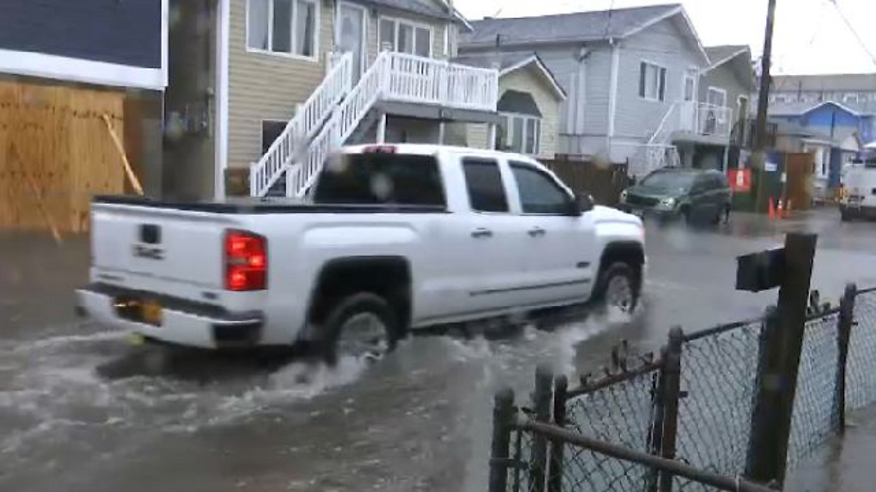
The last nor'easter, which hit the city Friday, brought winds gusts that were close to 70 MPH at their peak. That storm was a mixture of heavy rain and snow, with little accumulation.
The roads will likely be wet when the storm starts Wednesday, but that is projected to change as the day goes on and the snow accumulates.
The high temperature Tuesday will be 43 degrees.
The end of the week and weekend is forecast to be partly cloudy and dry, with high temperatures in the mid- to upper-40s.